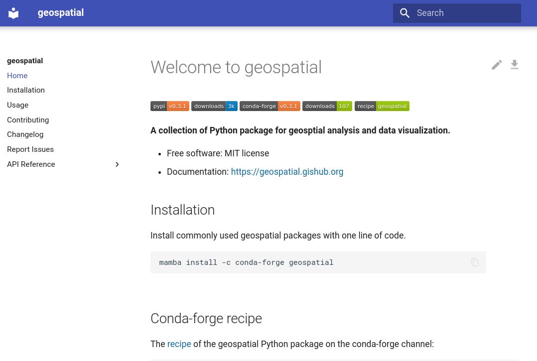
A Python package for installing commonly used packages for geospatial analysis and data visualization with only one command.
Project description
geospatial
A Python package for installing commonly used packages for geospatial analysis and data visualization with only one command.
- Free software: MIT license
- Documentation: https://geospatial.gishub.org
Credits
This package was created with Cookiecutter and the giswqs/pypackage project template.
Project details
Release history Release notifications | RSS feed
Download files
Download the file for your platform. If you're not sure which to choose, learn more about installing packages.
Source Distribution
geospatial-0.10.0.tar.gz
(4.3 kB
view details)
Built Distribution
File details
Details for the file geospatial-0.10.0.tar.gz.
File metadata
- Download URL: geospatial-0.10.0.tar.gz
- Upload date:
- Size: 4.3 kB
- Tags: Source
- Uploaded using Trusted Publishing? No
- Uploaded via: twine/4.0.2 CPython/3.12.1
File hashes
| Algorithm | Hash digest | |
|---|---|---|
| SHA256 | b40f24e1a4dcd18185d601dc30c964c3e25112bffc1d984679059d61508a38fe |
|
| MD5 | a0459fff9590e583fa99bd95e4701761 |
|
| BLAKE2b-256 | f4ccdf86cf35ffa62cc8ca5a6041119c0a7ca51bc8bb7ea6efd8dd0ca7981aa3 |
File details
Details for the file geospatial-0.10.0-py2.py3-none-any.whl.
File metadata
- Download URL: geospatial-0.10.0-py2.py3-none-any.whl
- Upload date:
- Size: 4.3 kB
- Tags: Python 2, Python 3
- Uploaded using Trusted Publishing? No
- Uploaded via: twine/4.0.2 CPython/3.12.1
File hashes
| Algorithm | Hash digest | |
|---|---|---|
| SHA256 | 070da62ef524b2d1154b2692b40f4f01663e5d8a55cbbfd59985f138e05e922e |
|
| MD5 | f519e974af249d4bc1cfb15799e92fb2 |
|
| BLAKE2b-256 | 23719d3eefee9bf30bfc4bf0e2a6de132c4ba5230530135d73c44cb080e96ad2 |


