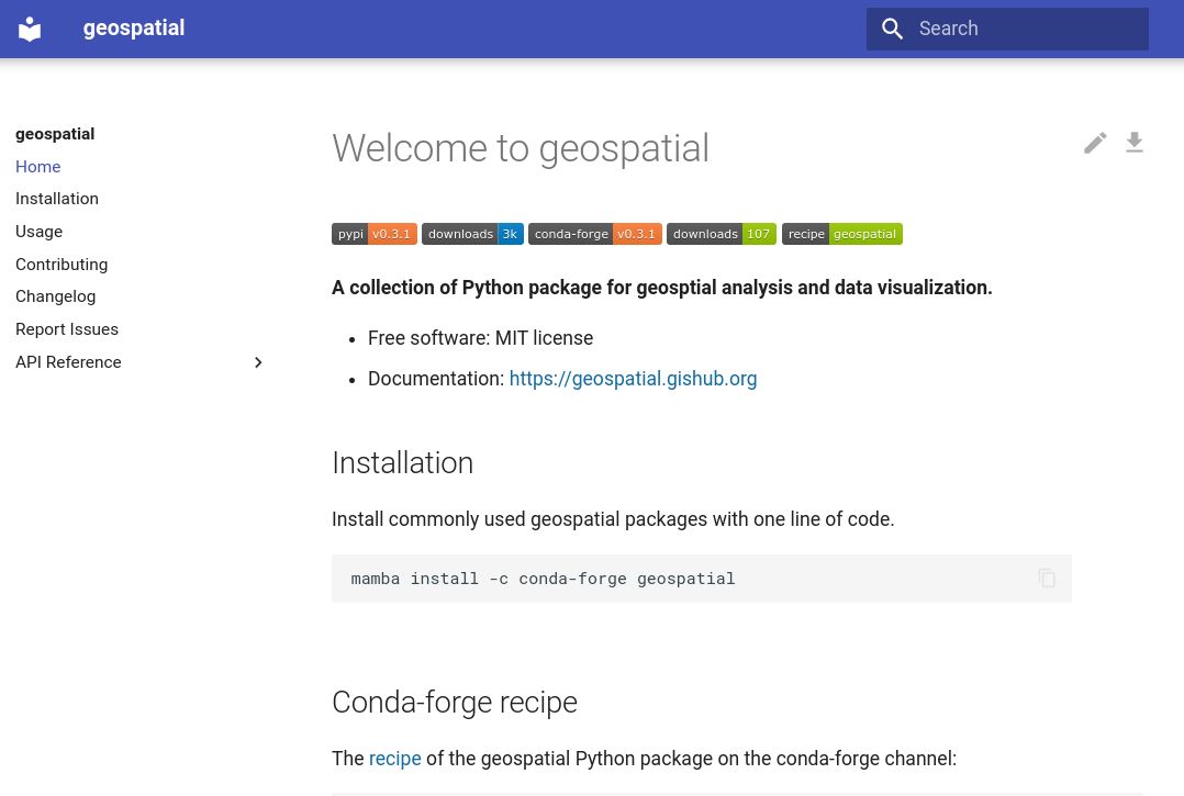
A Python package for installing commonly used packages for geospatial analysis and data visualization with only one command.
Project description
geospatial
A Python package for installing commonly used packages for geospatial analysis and data visualization with only one command.
- Free software: MIT license
- Documentation: https://geospatial.gishub.org
Credits
This package was created with Cookiecutter and the giswqs/pypackage project template.
Project details
Release history Release notifications | RSS feed
Download files
Download the file for your platform. If you're not sure which to choose, learn more about installing packages.
Source Distribution
geospatial-0.11.1.tar.gz
(459.9 kB
view details)
Built Distribution
File details
Details for the file geospatial-0.11.1.tar.gz.
File metadata
- Download URL: geospatial-0.11.1.tar.gz
- Upload date:
- Size: 459.9 kB
- Tags: Source
- Uploaded using Trusted Publishing? No
- Uploaded via: twine/5.1.1 CPython/3.12.6
File hashes
| Algorithm | Hash digest | |
|---|---|---|
| SHA256 | 03f1ed34125b52fbe27107bdc528f0afea31c12a19ed1db1890f29851081d604 |
|
| MD5 | 096110d62faa4f8e4a4a91314833b86d |
|
| BLAKE2b-256 | 4580caae73078d8785d3189d88b428b0311625f6eea891500ce5ff49fa3a5ffb |
File details
Details for the file geospatial-0.11.1-py2.py3-none-any.whl.
File metadata
- Download URL: geospatial-0.11.1-py2.py3-none-any.whl
- Upload date:
- Size: 3.6 kB
- Tags: Python 2, Python 3
- Uploaded using Trusted Publishing? No
- Uploaded via: twine/5.1.1 CPython/3.12.6
File hashes
| Algorithm | Hash digest | |
|---|---|---|
| SHA256 | f44f7a7fbbde007f714b1cfdba6b4df12fb88c8506f8ea7d601c5c8fb3da7071 |
|
| MD5 | 8913e8363a27677c931d7e21c69f7b3a |
|
| BLAKE2b-256 | 2cef8a8960304be1d006be1ce254f5e3540a5736b67f342ecf7bcf8c1cd83651 |


