A Twitter bot that tweets aerial imagery pictures of municipalities

Project description
Munibot

Munibot is friendly Twitter bot that posts aerial or satellite imagery of administrative regions (tipically municipalities).
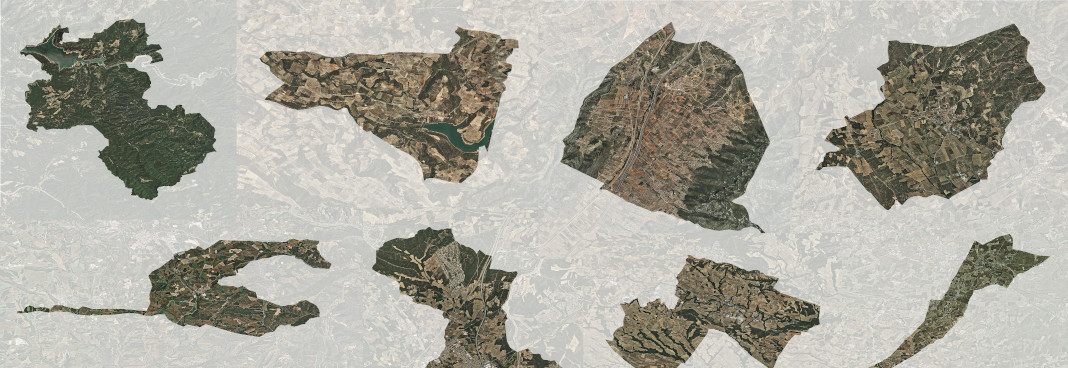
It is written in a modular way so it's easy to customize to different data sources, via the implementation of profiles.
It currently powers the following Twitter accounts:
-
@munibot_es: All municipalities in Spain, shown in random order, with base aerial ortophotograhy from PNOA IGN.
-
@munibot_cat: All municipalities in Catalonia, shown in random order, with base aerial ortophotograhy from ICGC.
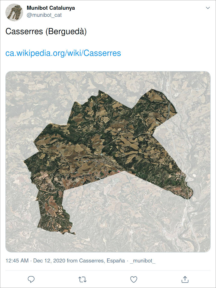
Here's how a sample tweet looks like:
License


Download files
Download the file for your platform. If you're not sure which to choose, learn more about installing packages.
Source Distribution
munibot-0.0.1.tar.gz
(9.5 kB
view hashes)


