Command line script to generate pcodes from your spatial dataset

Project description
pcodegenerator
Generates pcodes for geospatial datasets based on COD
Install :
pip install pcodegenerator
Make sure you have ogr2ogr installed on your machine too.
Prepare :
Download / Update with the latest COD edge matched dataset , Know more https://fieldmaps.io/
pcodeprepare --admin 4
Usage
Example to add pcode dataset on localities
pcodegenerator --source ./adm4_polygons.parquet --input locality.geojson --output locality_pcodes.geojson
Resources :
All credits to respective providers
ISO2 naming
Source : https://www.fao.org/nocs/en/
Multilingual database of Names of Countries and Territories (NOCS)
P-Codes Generation Logic
https://humanitarian.atlassian.net/wiki/spaces/imtoolbox/pages/222265609/P-codes+and+gazetteers

Admin boundaries
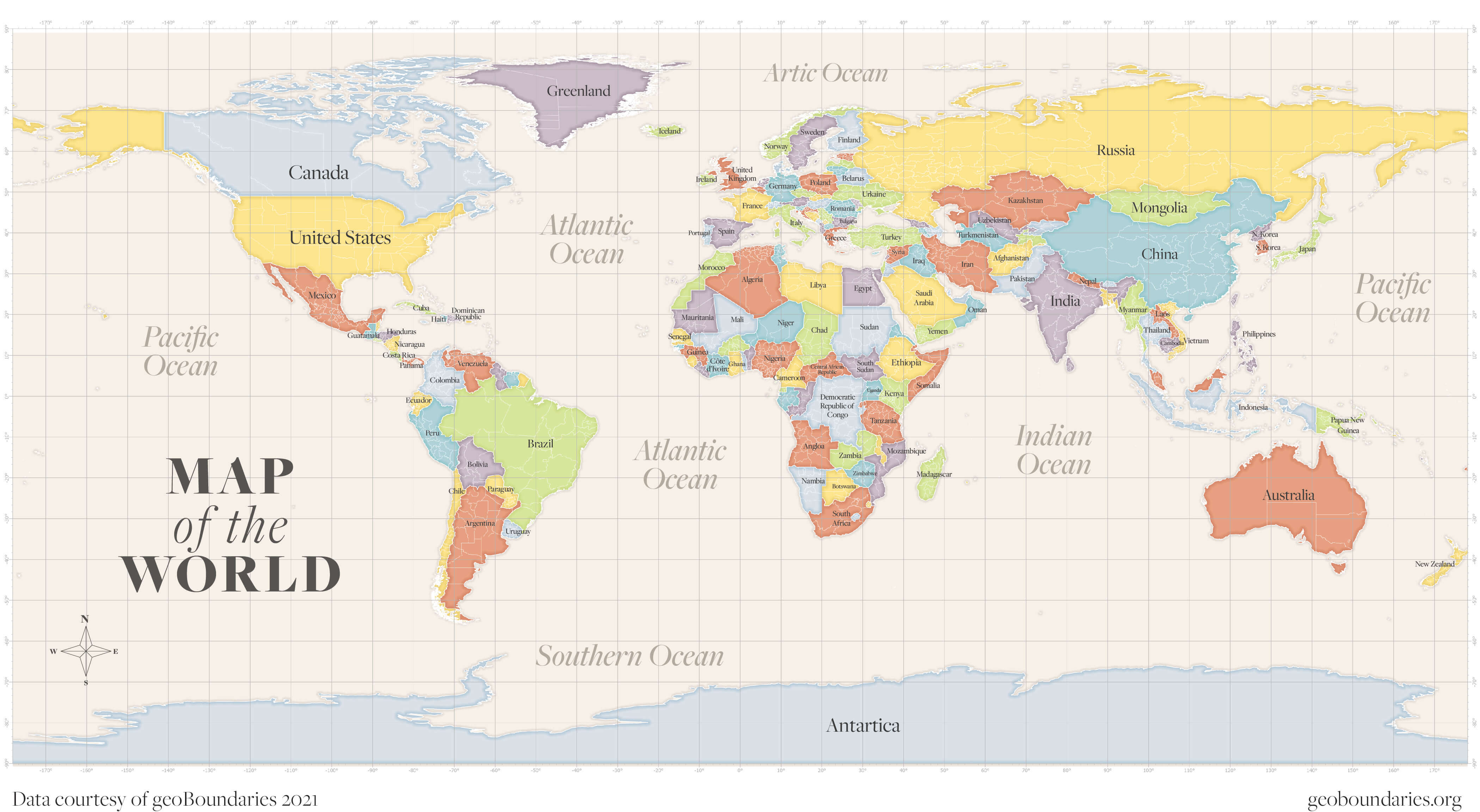
Source : https://www.geoboundaries.org/ License : CC BY 4.0 license
Global boundaries with COD attributes ( Including subnational geom )
Source : https://fieldmaps.io/data
API : https://data.fieldmaps.io/edge-matched.json
License : Open Data Commons Open Database License (ODbL)


Download files
Download the file for your platform. If you're not sure which to choose, learn more about installing packages.
Source Distribution
Built Distribution
File details
Details for the file pcodegenerator-0.2.0.tar.gz.
File metadata
- Download URL: pcodegenerator-0.2.0.tar.gz
- Upload date:
- Size: 16.7 kB
- Tags: Source
- Uploaded using Trusted Publishing? No
- Uploaded via: twine/5.1.1 CPython/3.12.5
File hashes
| Algorithm | Hash digest | |
|---|---|---|
| SHA256 | 67dd5ddbcac01297d060c872cc0ae166a77f7030d8f38e0e4613ba02ee3c6fd6 |
|
| MD5 | 653573806160bff0576e7bb435df986d |
|
| BLAKE2b-256 | 27a612e3aa134eadce0c7a7cb8bf43bbecd9991f440b70ff223474a98299ebfa |
File details
Details for the file pcodegenerator-0.2.0-py3-none-any.whl.
File metadata
- Download URL: pcodegenerator-0.2.0-py3-none-any.whl
- Upload date:
- Size: 17.7 kB
- Tags: Python 3
- Uploaded using Trusted Publishing? No
- Uploaded via: twine/5.1.1 CPython/3.12.5
File hashes
| Algorithm | Hash digest | |
|---|---|---|
| SHA256 | 787f2b83521ed1f0df16f171a8305c0a170070a7ce9afdb7558ab43c35ed3212 |
|
| MD5 | f3e9ff309c9f7fe592a5c4802ab838bc |
|
| BLAKE2b-256 | be2f7be3b983fd22d5e2b0e2737d1a98b0ad8814764423e512d296e2ef23cd03 |


